Western Alberta includes the eastern slope of the Rocky Mountains. This region of the Rockies is formed principally from upward thrusts of ancient sea-bottom terrain. The result is large areas of high plains, surrounded by mountain ridges and etched deeply by snow/glacier-fed streams and rivers. All plentifully populated by Lodge-Pole pines standing 60 to 100-feet high.
The composition of the soil is a dense aggregate of stones ranging in size from four inches dust (copious amounts of dust). The mountains are formed from veins of slate, sandstone or other soft rock separated by large regions of this aggregate sand. Geologists postulate that the mountains when first formed were two to three times their current height.
Valleys formed from erosion of these peaks are characterized by large tree-covered bluffs with steep sides that support grass and low vegetation. These bluffs, just as the mountain faces are subject to erosion at the base that results in sloughing off significant chunks of real estate. A typical example of this land-shifting is shown on a small-scale in the Figure.
One advantage of having this soil composition is
easy access to rock and gravel by digging quarries into the sides of these
bluffs (See the next Figure). This ready
access helps reduce the cost of highway construction in this lowly populated
region. Alberta is about the same size as Texas but with less than 15% of the
population of the Lone Star state.
Speaking of real estate, bluff-top home locations
can benefit from the gorgeous, commanding view of the opposing mountains and
connecting valley with circuitous fresh-water rivers. A possible disadvantage may be seen by the
bluff-top homes in the next picture, whose location is shown in the top-left of the one above … just at the top of that quarry.
Would you be an enthusiastic buyer for this Room with a view?
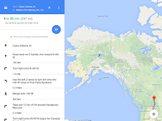
Today's Route: Tour Miles 0-250


No comments:
Post a Comment